IMD flags fresh winter spell: rain and snow in western Himalayas, storms in plains, cold-wave pockets likely
India is headed into an active winter phase from 27 January, with the IMD warning of widespread rain and snow across the western Himalayas, thunderstorms and gusty winds in several plains, plus dense fog and cold-wave conditions in pockets of north India.
A new burst of winter weather is set to sweep across large parts of north, northwest and central India from Tuesday, 27 January 2026, the India Meteorological Department (IMD) said in its latest national bulletin. The outlook points to widespread rain and snowfall in the western Himalayan region, stormy weather in adjoining plains, intermittent dense fog, and cold-wave or cold-day conditions in select pockets.
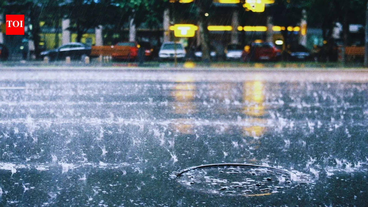
Rain and snow focus: western Himalayas
The IMD said fairly widespread to widespread precipitation is very likely over Jammu & Kashmir–Ladakh, Himachal Pradesh and Uttarakhand on 27 January, with activity continuing over Uttarakhand on 28 January. The agency also flagged the chance of isolated heavy rainfall or snowfall at a few places on 27 January, a combination that can quickly worsen travel conditions in higher reaches.
With snow and rain expected together with thunder and gusty winds in some hill belts, authorities may need to be prepared for localised road closures, short-notice disruptions in public transport and slower emergency response times in mountain districts.
Plains to see thunderstorms, gusty winds, and hail risk
Beyond the hills, the bulletin anticipates scattered to fairly widespread light to moderate rainfall over Punjab, Haryana and Chandigarh on 27 January, accompanied by thunderstorms and gusty winds in the 40–50 kmph range with higher gusts possible. Similar stormy conditions are expected over parts of west Uttar Pradesh and Rajasthan on 27 January, with east Uttar Pradesh likely to see activity on 27 and 28 January.
The IMD also warned of isolated hailstorms over parts of Jammu & Kashmir, Himachal Pradesh, Uttarakhand, west Uttar Pradesh and Rajasthan on 27 January. Even if localised, hail can damage standing crops, orchards and temporary structures, so farmers and local administrations may want to keep contingency measures ready.
Cold wave, fog and temperature swings
Cold-wave conditions are likely in isolated pockets over Punjab, Haryana-Chandigarh and Delhi, while cold-day conditions may prevail in parts of Himachal Pradesh. Dense fog is expected in isolated pockets across multiple states on specific days through the end of January, which could affect visibility and travel schedules.
The IMD also projected noticeable fluctuations in minimum temperatures over northwest and central India across 27 January to early February, as the system moves through and a subsequent western disturbance is expected to approach northwest India from the night of 30 January.
What to watch
- Possible travel disruption in higher Himalayan routes due to rain/snow and isolated heavy spells
- Thunderstorms and gusty winds across parts of the northern plains, including a hail risk in some areas
- Dense fog and cold-wave pockets that can cut visibility and increase health risks for vulnerable groups