IMD flags fresh western disturbance: rain/snow in western Himalayas, cold wave risk across north India
The IMD’s bulletin late on January 26 warned of a new spell of active winter weather from January 27: widespread rain and snowfall in the western Himalayas, thunderstorms and gusty winds in parts of the plains, dense fog pockets, and cold wave/cold day conditions in northern states.
A new burst of winter weather is set to sweep across large parts of north, northwest and central India from Tuesday, January 27, according to the India Meteorological Department’s (IMD) All India Weather Summary and Forecast Bulletin issued late Monday night (January 26). The outlook points to a mix of widespread rain and snowfall in the western Himalayan region, thunderstorm activity in the adjoining plains, and a return of cold wave and cold day conditions in some northern pockets.
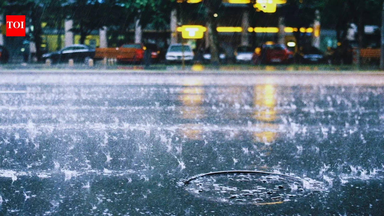
Rain and snow over the hills; storms spread into the plains
The IMD said fairly widespread to widespread rainfall and snowfall is likely over Jammu & Kashmir, Ladakh, Himachal Pradesh and Uttarakhand on January 27, with the activity continuing over Uttarakhand on January 28 as well. The bulletin also flagged the possibility of isolated heavy rain or snowfall in the hill states on January 27, a combination that can quickly translate into difficult road conditions in higher reaches and disruptions for travellers.
The impact won’t be limited to the mountains. The IMD forecast scattered to fairly widespread light to moderate rain with thunderstorms and gusty winds over Punjab, Haryana and Chandigarh on January 27, with wind speeds expected to reach around 40–50 kmph and occasionally gust higher. Similar unsettled weather is also expected over West Uttar Pradesh and Rajasthan on January 27, while East Uttar Pradesh may see stormy conditions across January 27–28.
Hail, fog and cold wave alerts add to disruption risk
Along with rain and snow, the IMD warned of isolated hailstorms over Jammu & Kashmir, Himachal Pradesh, Uttarakhand, West Uttar Pradesh and Rajasthan on January 27. Even when localised, hail can damage standing crops, orchards and temporary structures, and can pose sudden road-safety risks if it occurs alongside falling temperatures.
Dense fog is also on the radar. The bulletin indicated isolated dense fog during morning and night hours in select pockets, including parts of Uttarakhand up to January 27 and parts of Uttar Pradesh on January 27 (with additional fog windows later in the week). With visibility often dropping sharply during winter fog, commuters and travellers may see knock-on effects such as delayed trains and slower highway movement.
Temperature swings likely; another system may follow
Minimum temperatures are expected to fluctuate noticeably across regions, with parts of northwest India seeing a short-term rise up to January 27 followed by a dip over January 28–29, and then another warming phase towards the end of the month. The IMD also indicated that another western disturbance is likely to approach northwest India from the night of January 30, suggesting that the active pattern may persist into month-end.
Authorities and residents have been advised to track updated IMD warnings and take basic precautions—especially where fog, hail or cold wave conditions coincide—because conditions can change quickly once a western disturbance strengthens.