IMD warns of heavy snow, hailstorms and widespread rain from 26 January as a new western disturbance arrives
The India Meteorological Department has issued multi-state alerts for snowfall, hailstorms, thunderstorms and gusty winds as a fresh western disturbance is expected to affect north and central India from 26 January, peaking around 27 January. The advisory flags disruption risks to travel and daily services as fog and stormy conditions persist.
Weather systems set to disrupt transport and services in multiple states
The India Meteorological Department (IMD) has issued alerts across multiple states as a new western disturbance is expected to trigger widespread unsettled weather beginning 26 January 2026. The advisory points to a mix of hazards—heavy snowfall in hill regions, hailstorms in parts of the plains, thunderstorms, gusty winds and shifting temperatures—creating conditions that can disrupt transport networks and public services.
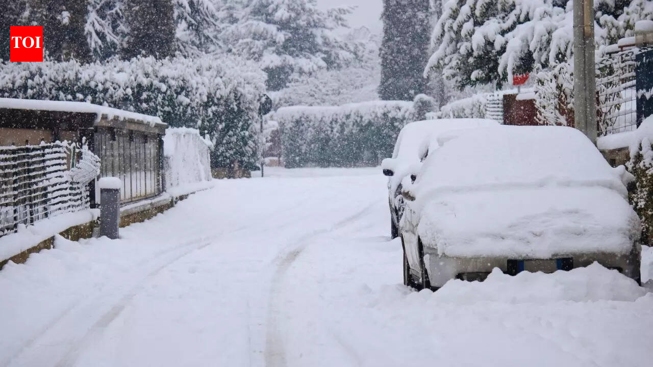
According to the forecast referenced in reports, the disturbance’s impact is expected to intensify on 27 January, when the heaviest snowfall and stronger storm activity are likely, before gradually easing by 28 January. However, IMD warnings indicate that even as intensity reduces, stormy and low-visibility conditions may continue in pockets, especially during night and early morning hours.
Why this matters for travellers and daily operations
Episodes of dense fog and sudden thunderstorms often cause knock-on effects—flight delays, slower rail operations, highway pile-ups, and longer emergency response times. In hilly states, heavy snow can close passes and block roads, while hailstorms can damage crops, vehicles and rooftop infrastructure. People planning inter-city movement over the Republic Day weekend may face changing advisories, diversions and cancellations.
The forecast also mentions ongoing fog and cold wave conditions continuing through 26 January in certain areas, which can keep mornings hazardous even before the next spell of rain and wind arrives. Local administrations typically issue district-level cautions based on real-time visibility and precipitation measurements.
Practical precautions highlighted by such alerts
- Monitor IMD updates and local warnings for your district, especially if travelling early morning or late night.
- Allow extra time for airport, highway and rail journeys due to fog-related slowdowns.
- Avoid exposed ridges or open fields during thunderstorms; be cautious around trees and power lines in gusty winds.
- In hill regions, check road status and carry essentials if driving into snow-prone zones.
With the system expected to peak on 27 January 2026, residents and travellers across affected regions may need to plan for short-term disruption while conditions stabilise.